The best road is rarely
the fastest road.

Flow ranks routes the way a distance rider would: bicycle networks first, freeway fraction second, speed last. Then it puts the whole ride on one screen — turn, speed, battery, range — built to be read at speed.

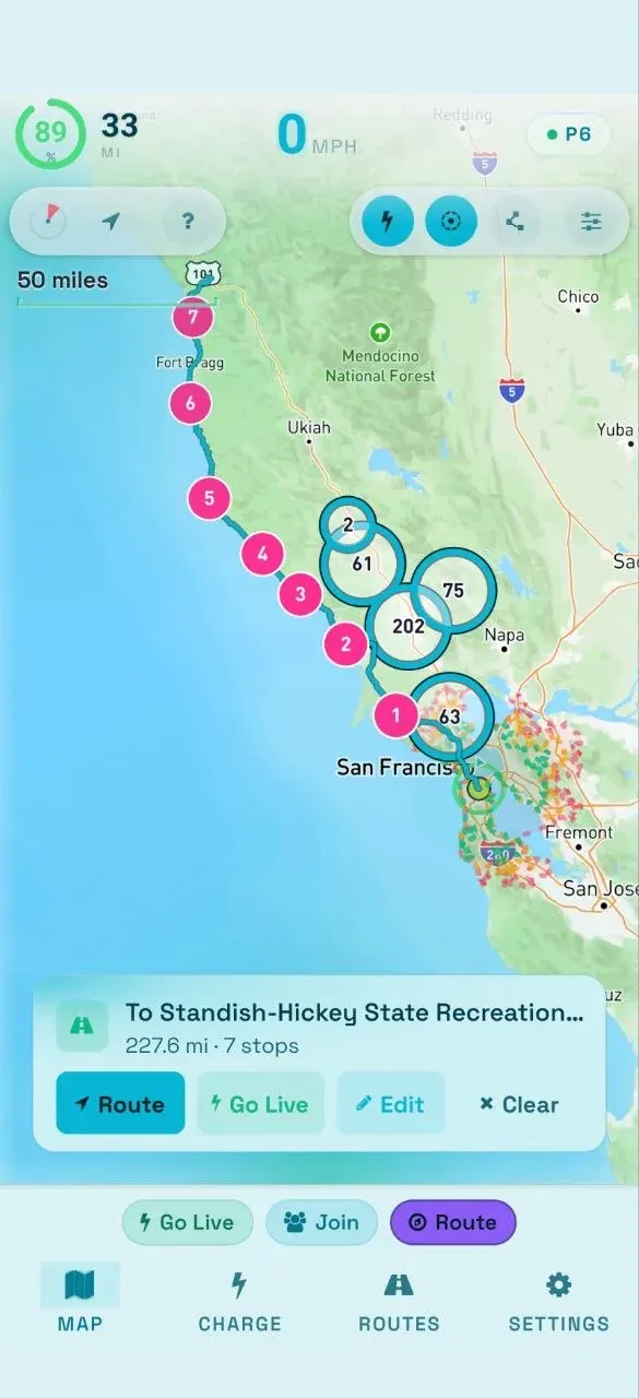
A planned coastal route with numbered charge stops, and speed, range and battery read-outs above it

Good roads,
not freeways.

An interstate is no place for an exposed rider, so Flow fetches motorway-excluded candidates, cycling-profile routes and named bicycle corridors, and scores them together. It stays a weighted preference, not a blind ban — when the freeway-free line runs past 1.5 times the straight-line distance, Flow drops it and lets the scoring decide. Any stretch of interstate that survives is flagged as danger before you start.

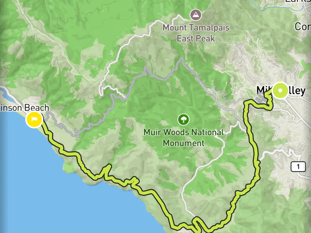
Flow map with a chosen route winding from Mill Valley over Panoramic Highway past Muir Woods to Stinson Beach
Mill Valley to Stinson Beach — the scoring chose Panoramic Highway past Muir Woods on its own.
How a route is scored
  • Bicycle network30%

    Named cycle routes and bike-designated roads carry the most weight.

  • Safety25%

    Runs inverse to freeway fraction — a third of the distance on interstate zeroes it.

  • Road character20%

    State highways score; interstates and US highways get no credit at all.

  • Through-route15%

    Rewards a coherent line over a stitched-together detour.

  • Duration10%

    A soft penalty on candidates that wander far past the fastest line — not a reward for speed.

The full account Corridor waypoints, the detour ratio, and the worked examples.

See how far
you can go.

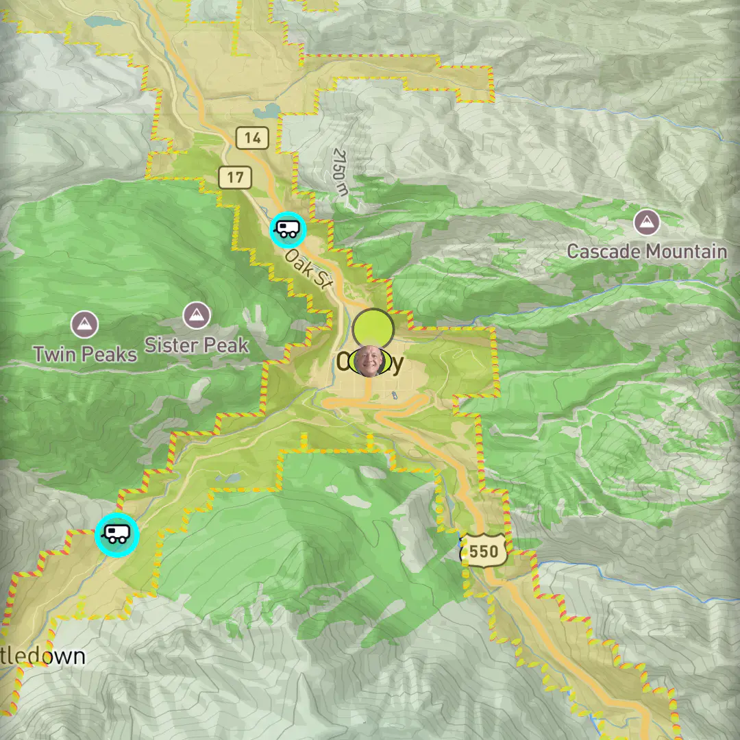
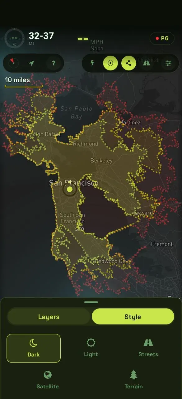
A shaded envelope shows everywhere you can ride and still make it. It follows the roads and the terrain — not a plain circle — and redraws as your battery drains.

The reachability envelope around Ouray, Colorado — a shaded fill with a dotted amber and red boundary pinched by the canyon walls of US-550
US-550, the Million Dollar Highway. Green is comfortable, amber is tight, red is barely — and the contour pulls in on the climbs.
Flow range overlay across the Bay Area — a shaded reachability envelope with a dotted green, amber and red boundary, the rider centred in San Francisco

The way home,
when the battery says so.

Your home address lives in the Where to? bar. Tap the home icon, tap Route here — built by the same engine as any planned ride, so it avoids freeways, and if home is past your range it plans the charging stops into it.
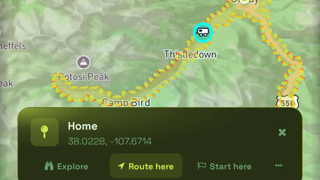
The Home card over the San Juan mountains with Explore, Route here and Start here actions, the reachability boundary crossing the valley behind it
One tap on the home icon, one on Route here. Home, for this rider, is Ouray, Colorado.
Flow will not flatter you. The range estimate and the range overlay carry a safety margin with elevation included — a mountain pass costs more battery than flat coastal road — and the router will not place a stop you would arrive at below your threshold. Sometimes that means Flow calls a charger out of reach that you could have squeaked into. When being wrong strands you, conservative is the correct kind of wrong.
Cockpit

Turn by turn,
at riding speed.

Speed, battery and range across the top. The map in the middle, shaded with how far you can still get. The next turn below it, and the action bar in thumb reach. Nothing on the riding screen competes with them.

Riding blind
is still riding.

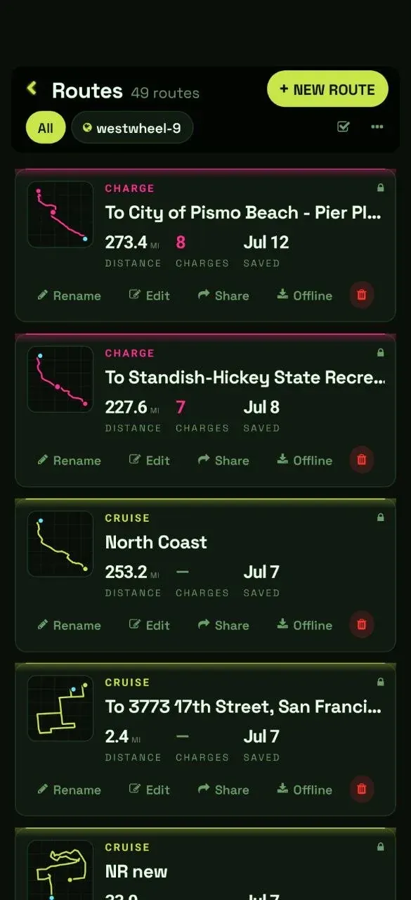
Open a route over 50 miles and Flow offers the offline download before you ask — map tiles, turn-by-turn, voice guidance and the chargers along the corridor. Lose signal out there and Flow keeps working off the cache, then syncs the ride you recorded when it returns.

  • ✓Charger data is a snapshot — update the region to refresh it
  • ✓Download at home, not at the trailhead
What still needs a signal Live charger availability, and group-ride broadcasting and spectating.
Saved routes library showing cruise and charge routes with offline download

Your wheel on the screen.

Pair over Bluetooth Low Energy and the dock fills in: speed, battery, range, and motor temperature when the wheel reports it. Flow auto-detects the protocol, remembers the wheel, and reconnects on its own — navigation never depends on the link.

Wheels

Inmotion, Veteran and Leaperkim, Begode and Gotway, KingSong. Set the protocol by hand if auto-detection misses.

Runs alongside your other apps

A wheel held by EUC World, WheelLog or Darknessbot still appears, marked Available — one phone can share a wheel between apps. A wheel still can’t talk to two phones at once; that’s the wheel’s limit, not Flow’s.

Six color schemes.

Dark for night rides, light for glare. Flow reads at a glance in any of them.
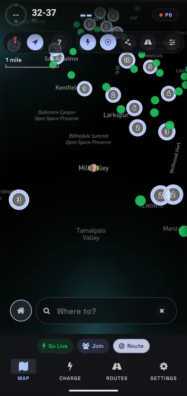
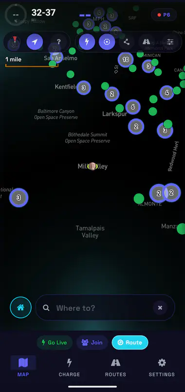
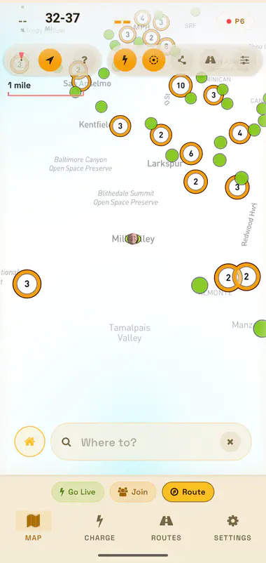
The Flow map in the Material You, dark color scheme
The Flow map in the Indigo, dark color scheme
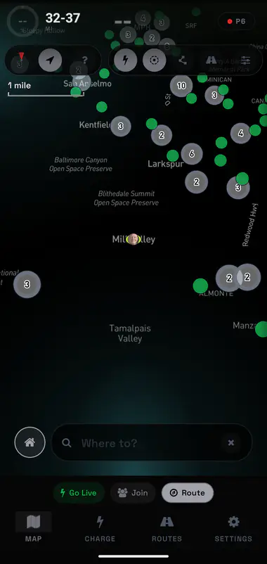
The Flow map in the Stealth, dark color scheme
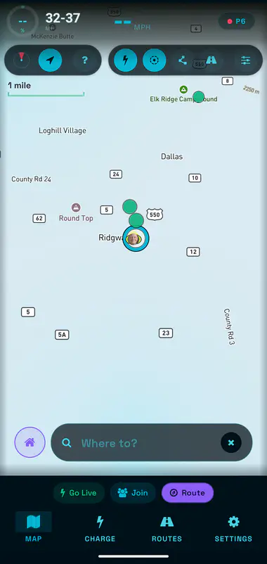
The Flow map in the Cyan color scheme
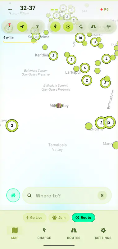
The Flow map in the Lime, light color scheme
The Flow map in the Amber, light color scheme
Foldables

Built for the big screen.

Flow lays out for whatever’s in your pocket — on the near-square inner screen of a foldable, the telemetry dock moves beside the map. Rendered here on the Pixel 10 Pro Fold.

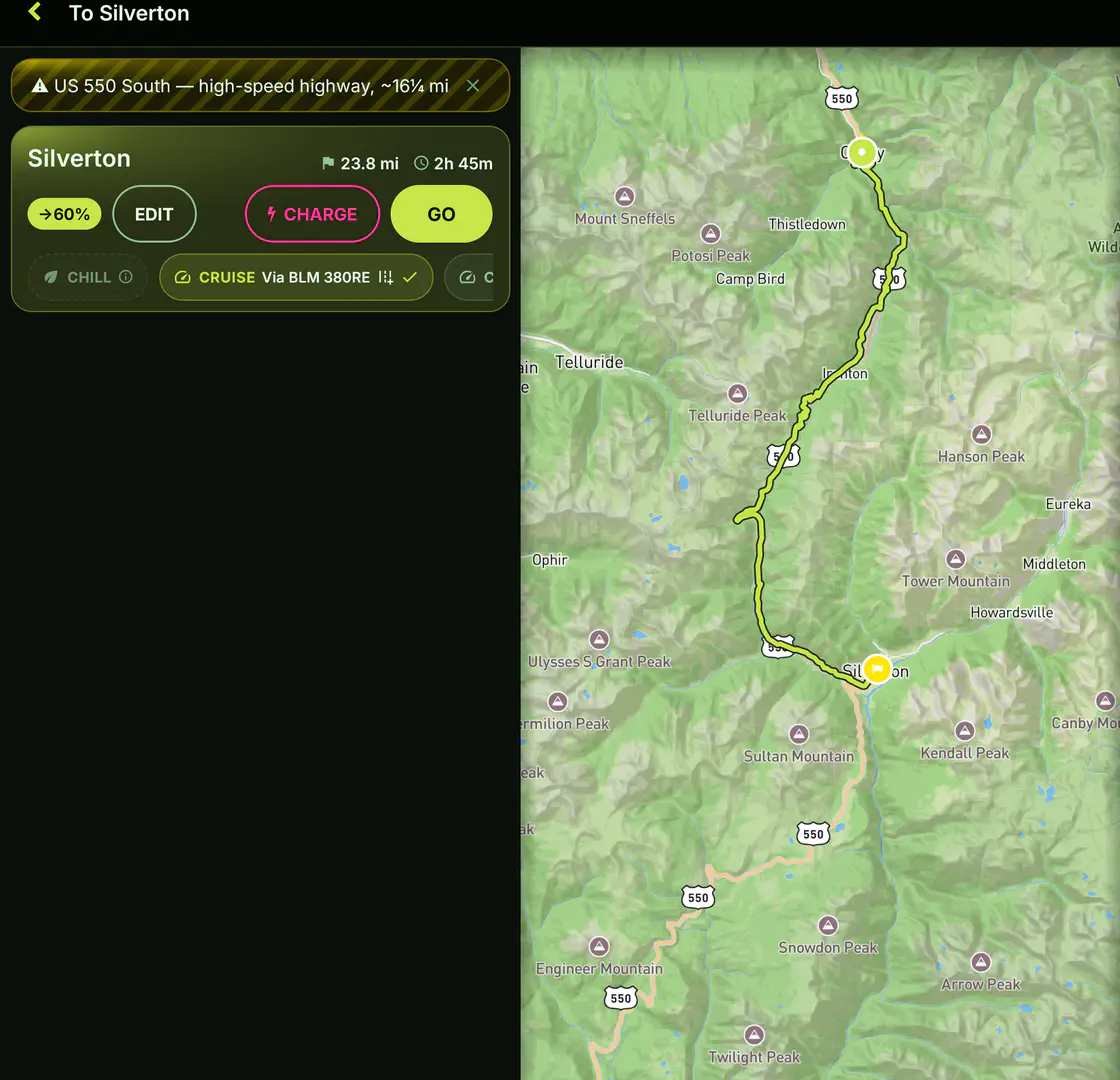
Flow on the near-square inner screen of a Pixel 10 Pro Fold — a side telemetry dock beside the map, a route from Ouray to Silverton along US-550 with a high-speed-highway caution and a 60 percent arrival verdict
In Cruise mode, by default NOFREEWAYS
Weight given to raw speed 10%
Offline download auto-offered above 50MI
Color schemes 6

The good road is already on the map.